
Accomplished Projects in Geoscience and Remote Sensing since 2018
Satisfied Customers from governmental entities and private sector bodies
International Partners in the field of computer vision and Artificial Intelligence
Scientific Papers published in highly ranked journals and proceedings
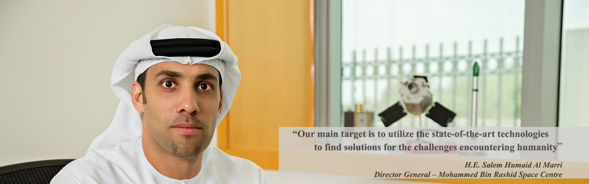
Welcome to MBRSC Lab
MBRSC Lab is a research and development (R&D) hub sponsored by Mohammed bin Rashid Space Centre and financed by the ICT Fund. It is located in the IT and Engineering Department at the University of Dubai. The lab is established in June 2018 with the aim of finding solutions to the outstanding problems in Geoscience and Remote Sensing using the cutting edge technology in the fields of computer vision, image processing and geographical information systems.
Explore Our Products & Services
Land Use/ Land Cover
Mapping
The aim of this service is to classify and extract the main features presented in satellite imagery such as water bodies, vegetation areas, road networks and paved areas, buildings and undeveloped areas.
Calibration and Validation
The aim of this service is to classify and extract the main features presented in satellite imagery such as water bodies, vegetation areas, road networks and paved areas, buildings and undeveloped areas.
Palm Trees Detection
We are designing state-of-the–art deep learning models to detect various objects such as individual palm trees from UAV using a combination of spectral and spatial analyses.
Coastline Analysis
We are designing state-of-the–art deep learning models to detect various objects such as individual palm trees from UAV using a combination of spectral and spatial analyses.
Explore our Open Data
Featured Events
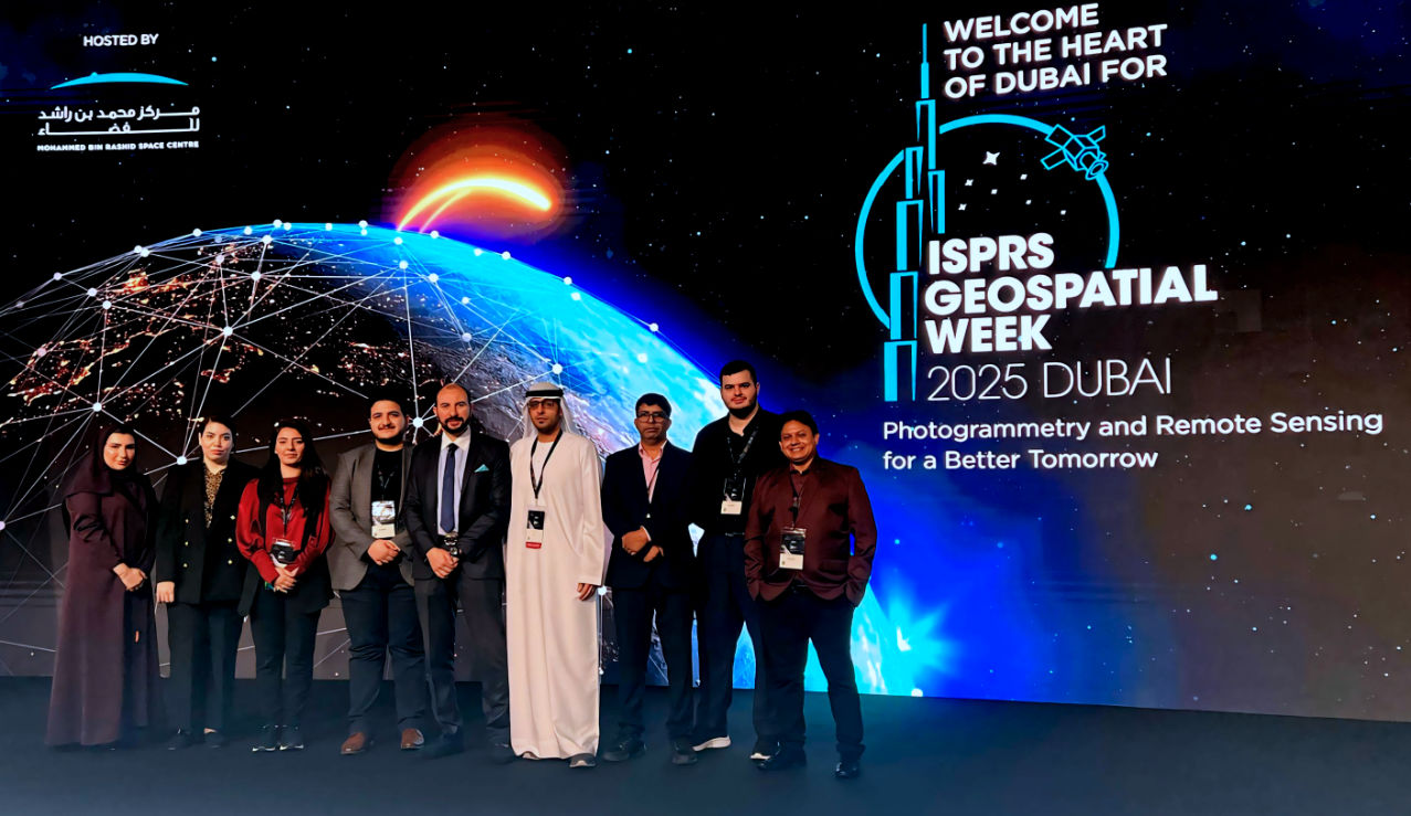
ISPRS Geospatial Week 2025
Read MoreActivities and Participations
MBRSC Lab researchers event participation
ISPRS Geospatial Week 2025
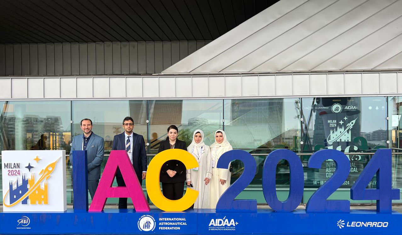
The 75th International Astronautical Congress (IAC)
SpaceOps Spring Meeting 2024